E. coli Update (21 July 2026)
July 24, 2026
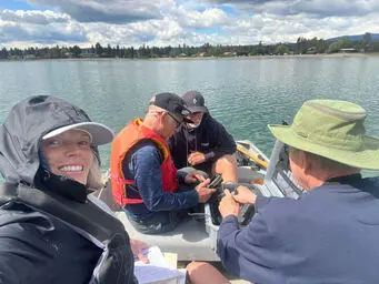
Water samples taken on July 21st.
E. coli readings all “acceptable” according to Interior Health (IH), despite slight increases in E. coli counts at Main, Horseshoe and Campers beaches.
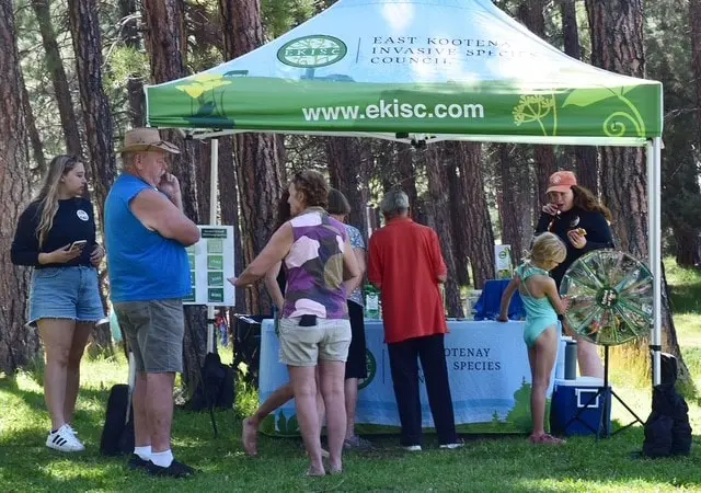
Details on the Water Quality tab under Wasa Lake menu item.
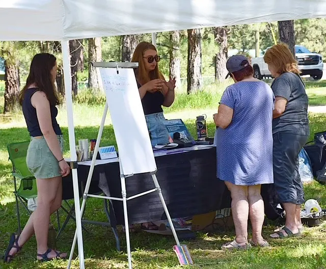
Next WLLID Board meeting, 12th August at 7pm, Community Hall, lower level. Residents welcome to attend.
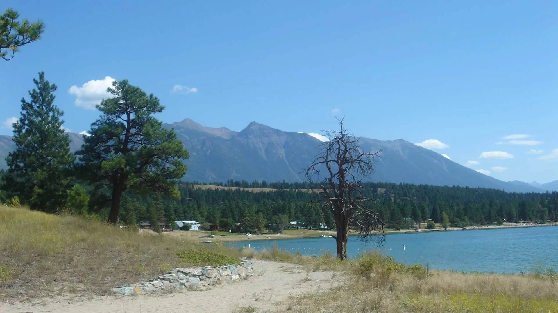
Nestled in British Columbia’s East Kootenay region, Wasa Lake is a beloved destination known for its warm summer waters, sandy beaches, and year-round recreation. Just a short drive from Kimberley and Cranbrook, it’s perfect for swimming, boating, fishing, paddling, and camping, with Wasa Lake Provincial Park offering 104 campsites and a vibrant day-use area for families and outdoor enthusiasts alike.